Oil & Gas
Design criteria and operational forecasts for platforms, FPSOs and pipeline routes.
The Challenge
Platforms, FPSOs and pipeline routes must be designed and operated against extreme and everyday metocean conditions alike, often in locations with limited historical measurement.
How Hermess Helps
Hermess builds robust design criteria from validated hindcast databases and delivers the operational forecasts that keep platform logistics and marine operations running safely.
Deliverables
- Extreme value and design criteria studies for platforms and FPSOs
- Metocean routing input for pipeline and cable corridors
- Operational forecasts for supply vessel and helicopter logistics
- Long-term hindcast statistics for permitting and design review
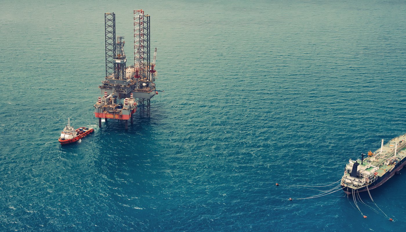
Metocean data portal-powered tools for oil and gas operations.
The data and applications behind our oil and gas work, from the underlying database to the tools your team can use directly.

Metocean data portal
Metocean data portal is a platform that enables humans and machines to seamlessly interact with all types of federated environmental data. Hindcasts, forecasts, climate predictions, observations and remote sensed data are all unified onto a common data model.
View services →
Metocean Data App
Trusted metocean statistics and time series powered by Metocean data portal reanalysis datasets. Choose any point directly from the interactive map to set your reanalysis or study area and generate wind and wave roses, trends, and key statistical insights, all exportable with a single click.
Get started →
Hindcast validation
The validation app delivers reliable metocean statistics from Metocean data portal reanalysis, allowing users to validate and analyse ocean climate data with confidence.
Get started →
Metocean Site Reports
Based on our long-term hindcast, statistics can be examined at monthly, seasonally or yearly scale within the entire model domain, delivered as detailed site reports covering design criteria and extremes.
View services →Seamless environmental data integration
Metocean data portal is a platform that enables humans and machines to seamlessly interact with all types of federated environmental data. Hindcasts, forecasts, climate predictions, observations and remote sensed data are all unified onto a common data model.
With an intuitive interface, client library and a highly performant API toolkit, users can create pipelines to efficiently access datasets, perform secure analyses and integrate complex multidimensional data into scientific workflows and custom applications.
View services →
Metocean hindcast data
You receive accurate, localised long term record of marine conditions at any open ocean or coastal location around the world. Metocean data is made available as gridded data (for spatial analysis), statistics or time-series. Our hindcast archives include the following metocean parameters:
Metocean parameters included
- Wind data — wind speed and direction
- Wave data — wave height, period and direction for total, swell and wind sea
- Currents — tidal, residual and combined
- Water level — tidal height/elevation, surge
- 2D wave spectra
Hindcast data is available from our global model as well as from high resolution regional models. Regional model data is available for the North Sea, Irish Sea, Baltic, Mediterranean, Arabian Gulf, US East coast, West coast Taiwan, Bass Strait & New Zealand.
View services →
Metocean consultancy
Our team of experts has a profound knowledge of the regional ocean processes and have well-established methodologies for metocean data analysis for offshore operations and engineering.
Our capability is based on a broad range of project experience, coupled with a thorough understanding of the metocean data requirements and analysis techniques required for coastal and offshore developments.
View services →